
Filter
Modality
Domain
Task
Scene
All Datasets
Coastal Inundation Risk Counterfactual Question-Answering Dataset
Train models to explain how sea-level changes affect coastal inundation risk by comparing baseline and hypothetical scenarios.
0JSON MOBIUSI INC
Watering Operation Video Dataset
This dataset contains high-definition videos for analyzing and optimizing watering operations.
0MP4MOBIUSI INCFog and Low-Cloud Coverage Spatial Localization Dataset
Use GIS coverage and boundary data for fog and low clouds to locate and analyze low-visibility weather regions.
0JSONMOBIUSI INC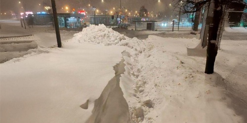
Adverse Weather Road Image Classification Dataset
The Adverse Weather Road Image Classification Dataset focuses on enhancing the performance of intelligent transportation systems under complex meteorological conditions.
0JPGMOBIUSI INCSatellite Observation Q&A Dataset for Convective Initiation Diagnosis
Diagnose possible triggers of new convection from satellite time-series clues, with evidence and uncertainty clearly identified.
0JSONMOBIUSI INCSediment Internal Nutrient Loading Counterfactual QA Dataset
Train models to trace complex counterfactual causes linking external nutrient reductions, sediment release, and delayed water-quality responses.
0JSONMOBIUSI INC
Urban Household Waste Multiclass Visual Recognition and Intelligent Sorting Annotated Dataset
Develop waste recognition and intelligent sorting models with multicategory waste images and associated annotation metadata.
0pieceMOBIUSI INCFloodplain Planning and Regulatory Q&A Dataset
Build traceable planning and compliance Q&A by locating key provisions in floodplain policies and flood protection regulations.
0JSONMOBIUSI INCCoastal Protection Measures Counterfactual Reasoning Dataset
Train models to reason about how coastal protection changes inundation risk and what residual impacts remain through paired scenarios and explanations.
0JSONMOBIUSI INC
2020 Weather Indicator Time Series Dataset
The 2020 Weather Indicator Time Series Dataset provides precise weather change data for environmental analysis and predictive models.
1CSVMOBIUSI INC
Kitchen Scene Four-Class Waste Object Detection and Classification Dataset
Explore four categories of waste in everyday kitchen scenes with annotations for training and evaluating recognition and classification models.
0pieceMOBIUSI INCDesert Convoy Crossing Route Video Dataset
This dataset records the full video of a desert convoy crossing, supporting environmental monitoring and autonomous driving research.
0MP4MOBIUSI INCWatershed Nutrient Pollution Source Counterfactual QA Dataset
Train models to reason about how changes to watershed nutrient sources may affect water quality, with explicit assumptions and evidence boundaries.
0JSONMOBIUSI INCCounterfactual Q&A Dataset on Changes in Aquatic Nutrient Limitation
Train models to trace causal links between controlled nitrogen and phosphorus input changes, nutrient limitation, algal responses, and water-quality effects.
0JSONMOBIUSI INCMeteorological Satellite Report Uncertainty and Negation Benchmark Dataset
Fine-grained annotations of change, negation, and uncertainty in satellite reports help improve model understanding and structured outputs.
0JSONMOBIUSI INCExtreme Heat Emergency Plan Question Answering Dataset
Build and evaluate retrieval and answering systems with evidence-linked questions grounded in extreme heat emergency plans.
0JSONMOBIUSI INC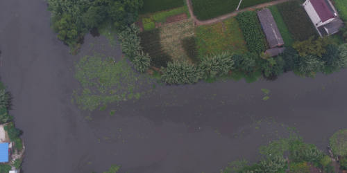
UAV Aerial River Waste and Water Pollution Object Detection Dataset
Build river waste recognition and water pollution monitoring models with annotated UAV aerial imagery.
0pieceMOBIUSI INCFlood Emergency Plan Question Answering Dataset
Train and evaluate RAG systems on flood emergency procedures with question-answer records grounded in source passages and supporting evidence.
0JSONMOBIUSI INCCounterfactual Reasoning QA Dataset for Ozone Precursor Emission Controls
Train models to explain how hypothetical precursor emission controls may affect ozone and why those effects depend on chemistry and environmental conditions.
0JSONMOBIUSI INC
School Area Noise Pollution Assessment Dataset
The School Area Noise Pollution Assessment Dataset focuses on analyzing and evaluating campus noise levels.
0WAVMOBIUSI INC

